Free UK delivery

Your basket (0)

Free tool · nothing to join

Printable star chart for the UK

The whole sky over the UK for any month and hour, with the constellations and the brightest stars named. Print it on A4 and take it outside.

The sky at 10pm in mid-November, 53.5°N

Mid-month: the night of the 15th into the 16th, UK clock time (GMT or BST, whichever is in use).

ANDROMEDAAQUARIUSARIESAURIGACAMELOPARDALISCANCERCANES VENATICICANIS MINORCASSIOPEIACEPHEUSCETUSCYGNUSDELPHINUSDRACOEQUULEUSERIDANUSFORNAXGEMINIHERCULESLACERTALYNXLYRAORIONPEGASUSPERSEUSPISCESSAGITTATAURUSTRIANGULUMURSA MAJORURSA MINORVULPECULAVegaCapellaRigelProcyonBetelgeuseAltairAldebaranPolluxDenebCastorPolarisNESWHold it above your head with N towards north: east is then on your left, as on the chart.

East is on the left. The chart is drawn to be held above your head, face down, with N towards north. Then east really is on your left and west on your right, which is why it looks the wrong way round on a table.

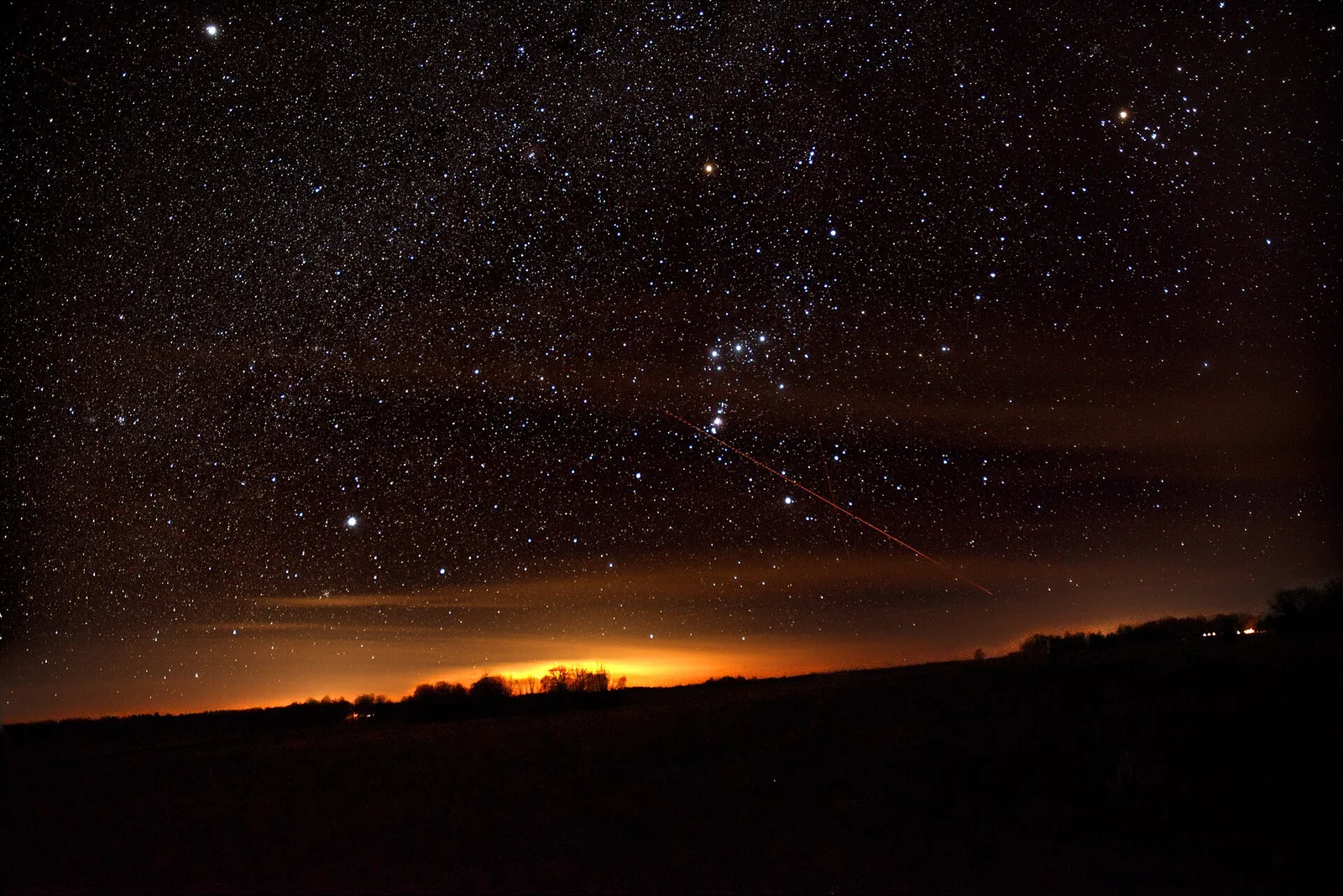
The stars of Orion over a dark horizon with an orange glow along it.
Orion in the night sky. Photo: Taavi Niittee, CC0.

Bright stars to find on this chart

  • Vega: halfway up in the north-west, about 25° up
  • Capella: high in the east, about 55° up
  • Rigel: low in the south-east, about 15° up
  • Procyon: low in the east, about 5° up
  • Betelgeuse: halfway up in the east, about 20° up
  • Altair: low in the west, about 10° up
  • Aldebaran: halfway up in the south-east, about 40° up
  • Pollux: halfway up in the east, about 20° up
  • Deneb: halfway up in the west, about 45° up
  • Castor: halfway up in the east, about 25° up
  • Polaris: high in the north, about 55° up

The centre of the chart is the point straight overhead and the rim is the horizon. The two faint rings are 30° and 60° up. Stars are drawn down to magnitude 4.8, about what a dark country sky shows; in a town expect the brighter ones only. The chart is worked out for longitude 1.5°W. Across the UK the same sky arrives up to about 13 minutes earlier in the east (Norfolk) and up to about 25 minutes later in the far west (Cornwall, Northern Ireland, the Hebrides).

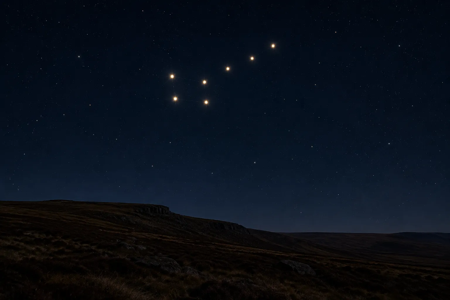
The seven stars of the Plough above dark moorland at night.

How to use it

Pick the month, the time on your clock and the part of the UK you are in. The chart redraws straight away. It shows the sky in the middle of that month, on the night of the 15th. Press Print this chart for a black-on-white A4 sheet that uses very little ink.

Take it outside with a red torch if you have one, because red light keeps your eyes used to the dark. Give your eyes twenty minutes and far more stars appear.

How to read the chart

The middle of the circle is the point straight above your head, and the rim is the horizon all the way round. Hold the chart over your head, face down, and turn it until the N is towards north. East is then on your left, which is why the chart looks back to front on a table.

Bigger dots are brighter stars. The lines join the main stars of each constellation into the shapes star charts have used for a long time, and the names sit beside them. A faint ring marks 30° above the horizon and another 60°. The list under the chart says where to look for the brightest named stars.

Planets and the Moon are not on it. They move against the stars from week to week, so a bright "star" that is not on the chart is very often a planet.
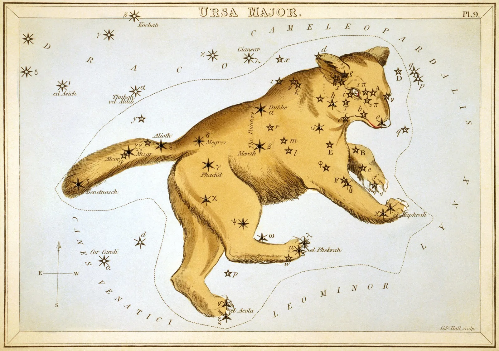
An 1820s star card showing the Great Bear, with the seven Plough stars along its back and tail.
The Great Bear, plate 9 of Urania’s Mirror (London, 1825): the Plough is only its back and tail. Public domain.

How it is worked out

Each star's position comes from the same catalogue as our personalised star map: the d3-celestial star list by Olaf Frohn. The constellation lines and names come from the same open project. Astronomy Engine, an open astronomy library, then works out where each star sits in your sky at that moment, allowing for the slow wobble of the Earth's axis since the year 2000.

The chart is drawn for longitude 1.5° west, roughly the middle of England. The sky turns one degree every four minutes, so in Norfolk the same sky arrives up to about 13 minutes earlier, and in the far west (Cornwall, Northern Ireland, the Hebrides) up to about 25 minutes later. For a star chart that is close enough.

We check the sums against published figures. Polaris stands as high as your latitude, to within the 0.74° it sits from the pole. Sirius crosses due south at about ten past midnight GMT on New Year's night 2027, the same minute a hand sum gives from its catalogue position.

Where to go next

The Plough is the easiest place to start: find the Plough, then follow its pointer stars to Polaris, the North Star. In winter look for Orion in the south; in summer, the Summer Triangle high in the east and overhead.

Written by Craig Fearn, Aphelion Prints. Last updated .

Printable star chart for the UK questions

Why is east on the left?
Because the chart is a picture of the sky above you. Lie on your back with your head to the north and east is on your left. Hold the chart over your head, N towards north, and it matches the sky.
Does it work for Scotland?
Yes. Choose Scotland (57°N). The further north you are, the higher Polaris stands and the more of the northern sky never sets, while stars low in the south drop out of view.
Can I use it on a different day of the month?
Yes, with a small shift. The stars rise about four minutes earlier each night, so two weeks later the 10pm sky arrives at about 9pm. The 9pm chart for the next month is close to the 11pm chart for this one.
Why can I see a bright star that is not on the chart?
It is most likely a planet. Venus, Jupiter, Mars and Saturn wander against the stars, so they are left off a chart meant to be used in any year.
Can schools and groups print copies?
Yes, as many as you like. Each sheet carries a small credit line at the foot.